Starting point: Bistra (808 m)
| Lat/Lon: | 46,4444°N 14,8072°E |
| |
Time of walking: 3 h 45 min
Difficulty: easy marked way
Altitude difference: 829 m
Altitude difference po putu: 930 m
Map: Kamniške in Savinjske Alpe 1:50.000
Recommended equipment (summer):
Recommended equipment (winter): ice axe, crampons
Views: 4.995
 | 1 person likes this post |
Access to the starting point:
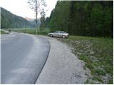
First, drive to Črna na Koroškem (you can get here from Mežica or from Šoštanj and Velenje via the Spodnje Sleme pass), then continue to Logarska dolina, Solčava, Pristava and Podpeci. At Pristava, turn left and continue driving towards the scattered settlement of Bistra. After a good 3 km drive from Pristava, you will see a chapel by the roadside, after which you will come to a small crossroads, at which you will see mountain direction signs for Raduha. Park in a suitable place at the crossroads.
Path description:
From the starting point, take the ascending and initially still asphalted road in the direction of Koča na Loki and Raduha. The asphalt ends after a few steps, and we continue on the macadam road, which we follow to a small crossroads, where a narrower road branches off slightly to the right, over a pasture fence. Continue along the right-hand road, which immediately after a small wooden hut turns into a cart track road, which leads to the edge of the forest.
Here, signs direct you into the woods on a footpath which climbs moderately along cart track. Higher up, the path leads us out of the forest to a larger clearing, where we pass another hut on the left-hand side. The way ahead returns to the forest, crosses a forest road and then climbs along a stream. After a few minutes' walk along the stream, the path turns to the right and gradually moves away from the stream bed. Higher up, the path turns slightly further to the right, crosses a few short viewpoints and then turns left, where after a few minutes' further walking it leads to a forest road.
Continue in the direction of Raduha and follow the gently sloping and deteriorating forest road. The road continues for some time and then leads to Knezova planina or mountain pasture Bela peč.
From the crossroads at Knezova planina, continue left in the direction of Koča na Travniku, Komno and Dom na Smrekovcu (Raduha on the right) along a path which begins to climb moderately through initially sparse forest. The occasionally less well-beaten path climbs moderately for some time, then leads to a completely overgrown slope, from which a beautiful view of Pec and Golica opens up. Above the overgrown but scenic slope, the path returns to the forest and semicircularly bypasses Presečnikov vrh. Next, we return to the ridge, where the path, surrounded by numerous blueberry bushes, gradually begins to descend. After a while, the trail, which is easy to follow, but often quite dewy in the morning and mid-morning, leads to a small wooden fence, behind which we step onto a relatively new tractor logging trail. Continue for a short distance on the above-mentioned logging trail, and then, when it turns slightly downhill, continue straight on along a pleasant woodland path, which widens behind a pasture fence into the old cart track. The path ahead leads us past a small stream (there is also a water trough along the way), after which we soon emerge from the woods into the vast grazing areas of mountain pasture Wide lawn. Once out of the woods, continue left (straight Komen, right Koča na Travniku 100 metres) and continue up a gently sloping pasture. The moderately steep path goes higher into the lane of the forest and becomes even steeper. Crossing the usually animal-covered terrain (mud after rains), the path leads out of the forest onto a marshy meadow, over which there is a barely perceptible climb to a less visible crossroads. Here we continue straight on (right Komen) and within 2 minutes of further walking we reach the top of Veliki Travnik, in the middle of which stands a small wooden lookout tower.

Pictures:
 1
1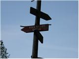 2
2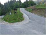 3
3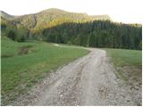 4
4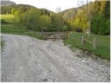 5
5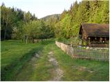 6
6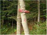 7
7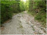 8
8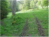 9
9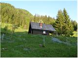 10
10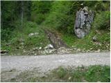 11
11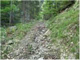 12
12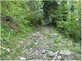 13
13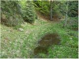 14
14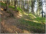 15
15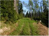 16
16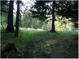 17
17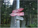 18
18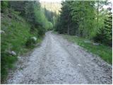 19
19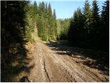 20
20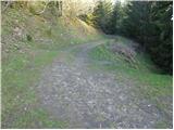 21
21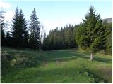 22
22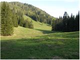 23
23 24
24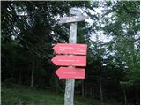 25
25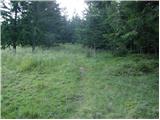 26
26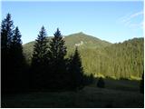 27
27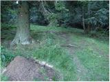 28
28 29
29 30
30 31
31 32
32 33
33 34
34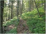 35
35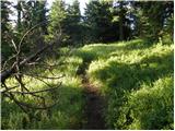 36
36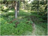 37
37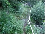 38
38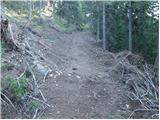 39
39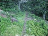 40
40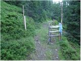 41
41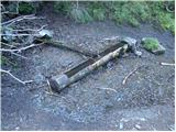 42
42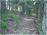 43
43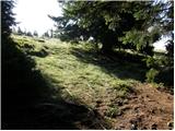 44
44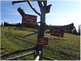 45
45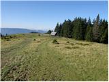 46
46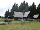 47
47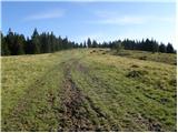 48
48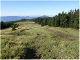 49
49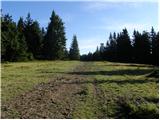 50
50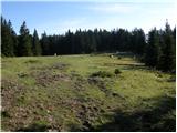 51
51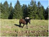 52
52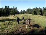 53
53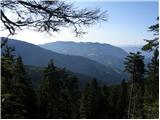 54
54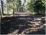 55
55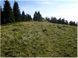 56
56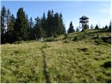 57
57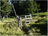 58
58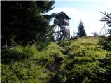 59
59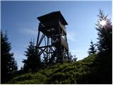 60
60 61
61 62
62
Discussion about the trail Bistra - Veliki Travnik